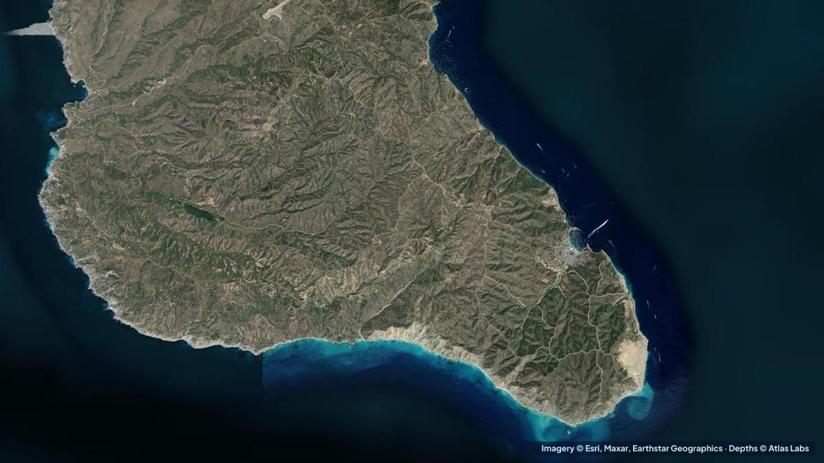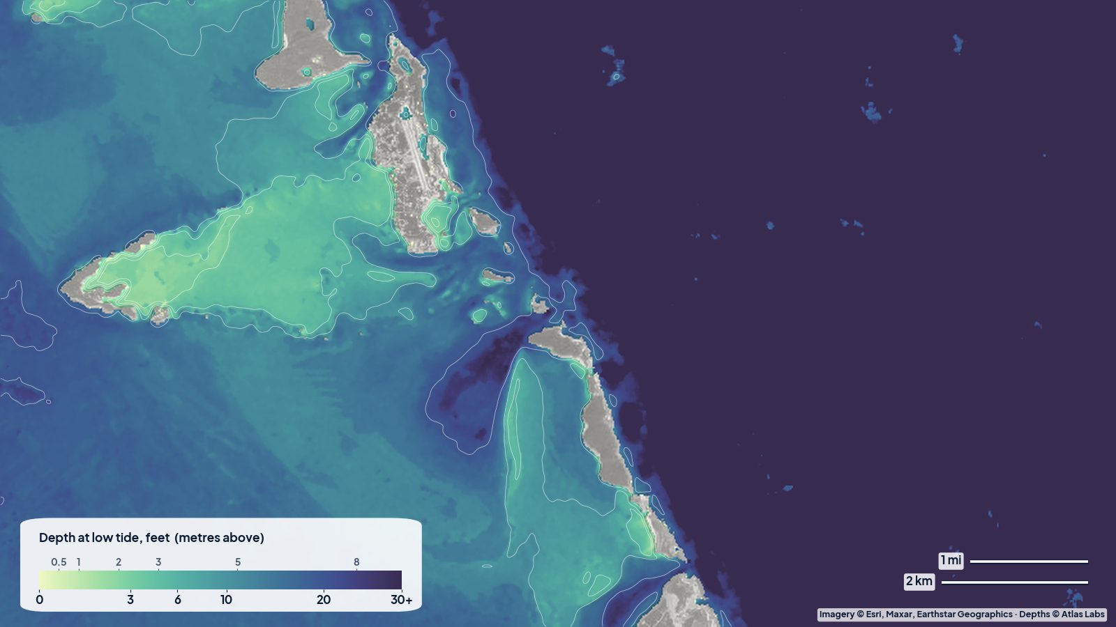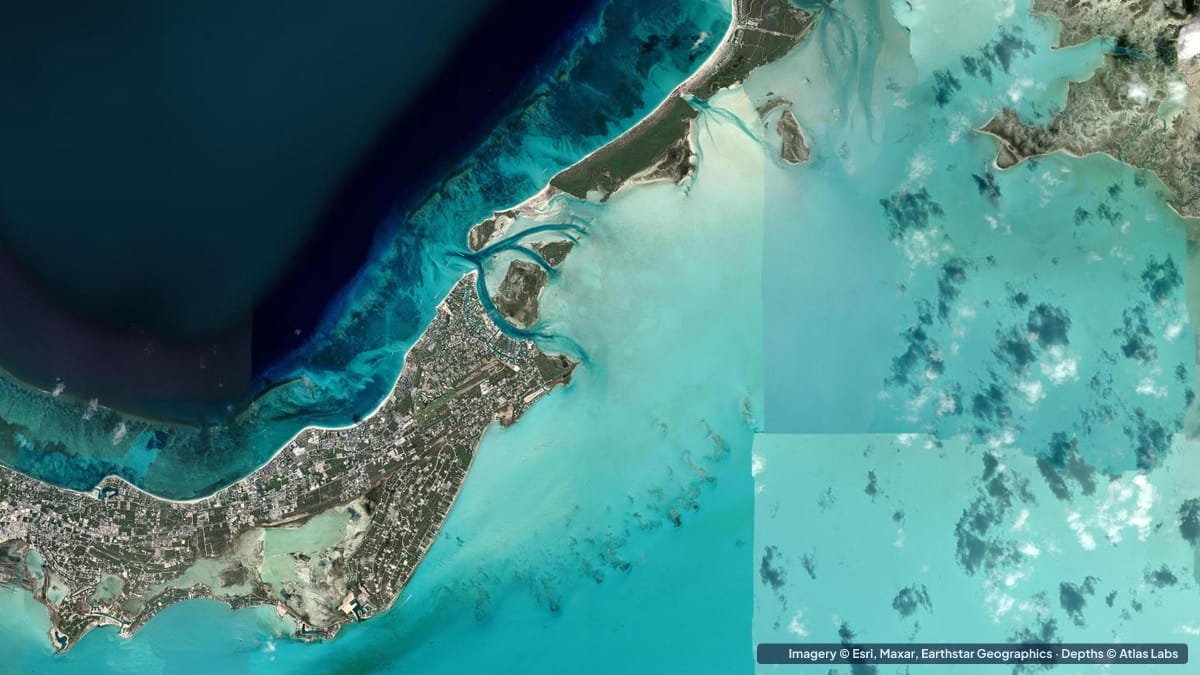
Grace Bay, on the north shore of Providenciales in the Turks and Caicos, is a 3 mile (5 km) sweep of white sand facing a calm turquoise lagoon, with a barrier reef about a mile offshore that keeps the Atlantic swell out and the water glassy. It is consistently rated among the best beaches in the world, and almost everything the resorts offer, from paddleboarding to beginner snorkeling, happens in the lagoon between the beach and that reef. This guide explains the zones, typical depths, where to get in the water, when to go and what to watch for. The satellite depth map for this cell is updated regularly.
What the bottom looks like
- The beach and the shallows: fine white sand shelving very gently, with scattered seagrass patches in the lagoon.
- Bight Reef (Coral Gardens): at the western end of Grace Bay in Princess Alexandra National Park, a coral bank that starts a few steps from the sand and runs roughly 350 to 400 ft (105 to 120 m) offshore, marked with buoys. The best beginner snorkel on the island.
- Smith’s Reef: further west toward Turtle Cove, a larger area of patch reefs and sand channels with turtles, rays and more fish, reached from a quiet beach access.
- The lagoon: a mile of mostly sand and seagrass between the beach and the barrier reef, with deeper coral heads and small walls toward the reef.
- The barrier reef and the wall: the reef crest about a mile out, then coral canyons and spur-and-groove formations dropping to the wall, where the bottom falls away to thousands of feet.
- Leeward and the channels (east end): the marina area and the cut to the Caicos Banks, with current and boat traffic.
Approximate depth by zone
Typical ranges only. The tide range is roughly 2 to 3 ft (0.6 to 0.9 m). Check the live map.
- Beach swimming area: roughly 1 to 6 ft (0.3 to 1.8 m) within the first 50 yards, very gentle slope.
- Bight Reef (Coral Gardens): described as 3 to 6 ft (0.9 to 1.8 m) near shore, running out to roughly 20 ft (6 m) at its outer edge.
- Smith’s Reef: roughly 5 to 20 ft (1.5 to 6 m) over the patch reefs, with sand channels between.
- The lagoon toward the barrier reef: roughly 10 to 25 ft (3 to 7.6 m), with coral heads rising to within a few feet of the surface.
- Barrier reef crest: awash to 10 ft (0 to 3 m), breaking in swell.
- Reef front and the wall: descriptions put the ridge at roughly 25 to 40 ft (7.6 to 12 m) before the drop into very deep water; the “Grace Bay reefs” dive sites have canyons from 30 to 100 ft (9 to 30 m).
- Leeward channel: roughly 8 to 15 ft (2.4 to 4.6 m) with current.
Access, launches and getting out there
- Public beach accesses along Grace Bay Road: several marked paths between the resorts, including one at the Bight for Coral Gardens and one near Turtle Cove for Smith’s Reef; limited parking.
- Resort watersports desks: paddleboards, kayaks, Hobie cats and snorkel gear for guests and often for visitors, launched straight off the beach.
- Snorkel and dive boats: depart from Turtle Cove Marina and Leeward (Blue Haven) Marina for the barrier reef, the wall and the Caicos Banks; many offer half-day Grace Bay reef trips.
- Private boats: the Leeward channel and Turtle Cove are the entrances; anchoring in the national park is restricted and moorings are provided at the main sites.
Best tide, wind and season
- Tide: Minor for swimming and paddling. Snorkel Bight Reef and Smith’s Reef in the morning before the wind rises and at mid to high tide for a little more water over the shallow coral.
- Wind: The trade wind from the east and south-east builds through the day, and the lagoon gets a chop by early afternoon. Winter north swells (December to March) are the only time Grace Bay gets real waves and cloudy water.
- Season: December to April is the high season with the coolest, driest weather and the most visitors; summer is hot, calm and quiet with the warmest water. Hurricane season peaks August to October.
Hazards
- Shallow coral at Bight Reef: The coral starts in 3 ft (0.9 m) and is easy to kick or stand on; stay horizontal and follow the buoys.
- Afternoon wind and offshore drift: Paddleboarders are blown out toward the reef in the afternoon trade wind; stay inside the swim buoys and go in the morning.
- Boat traffic: Jet skis and tour boats use the lagoon; the area off the Bight is a no-motor zone but the edges are busy.
- The barrier reef passes: Current and breaking swell; the reef and wall are for boat trips with guides.
- Sun: Intense and reflected off white sand; the lagoon has no shade.
- Protected area rules: No touching coral, no collecting, no anchoring on reef in Princess Alexandra National Park.
Kayak and paddleboard guidance
Kayaks and paddleboards (4 to 6 in, 10 to 15 cm of draft) are ideal for the Grace Bay lagoon on a calm morning: paddle the length of the beach, stop over Bight Reef or Smith’s Reef and snorkel from the board. Stay inside the swim buoys when the wind rises and do not attempt the barrier reef.
Private boats drawing 2 to 6 ft (0.6 to 1.8 m) enter via Turtle Cove or Leeward and should use the park moorings; the lagoon’s coral heads rise suddenly from 20 ft (6 m) to a few feet.
Frequently asked questions
How deep is the water at Grace Bay beach?
Very gentle: roughly 1 to 6 ft (0.3 to 1.8 m) in the first 50 yards over sand, which is why it suits children and beginners.
How deep is Bight Reef (Coral Gardens)?
It starts in about 3 to 6 ft (0.9 to 1.8 m) a few steps from the sand and runs out to roughly 20 ft (6 m) at its edge, about 350 to 400 ft (105 to 120 m) offshore.
Can I snorkel from the beach in Turks and Caicos?
Yes, Bight Reef and Smith’s Reef on Providenciales are the two classic shore snorkels, both in shallow, protected water.
Is Grace Bay good for paddleboarding?
Excellent in the morning, when the lagoon is flat. Stay inside the buoys once the trade wind builds in the afternoon.
How far offshore is the barrier reef at Grace Bay?
About a mile (1.6 km). It is a boat trip, not a swim or a paddle.
Related reading
Safety note: ShoalScope depth maps are satellite estimates for planning only and are not for navigation. Coral heads in the lagoon rise suddenly. Follow Princess Alexandra National Park rules, stay inside the buoys, and never snorkel alone.