 ±0.66 mNew
Bahamas
Exumas & Staniel Cay, Bahamas
- ±0.66 mtypical error
- 2,222laser soundings checked
- 154 km²of shallows
Updated 5 h agoToday …
Region
4 live depth maps · 7 guides
±0.66 mNewBahamas
Updated 5 h agoToday …
 ±0.39 m
Bahamas
Updated 5 h agoToday …
 ±0.67 m
Bahamas
Updated 5 h agoToday …
 ±0.60 m
Bahamas
Updated 2 d agoToday …
 Bahamas
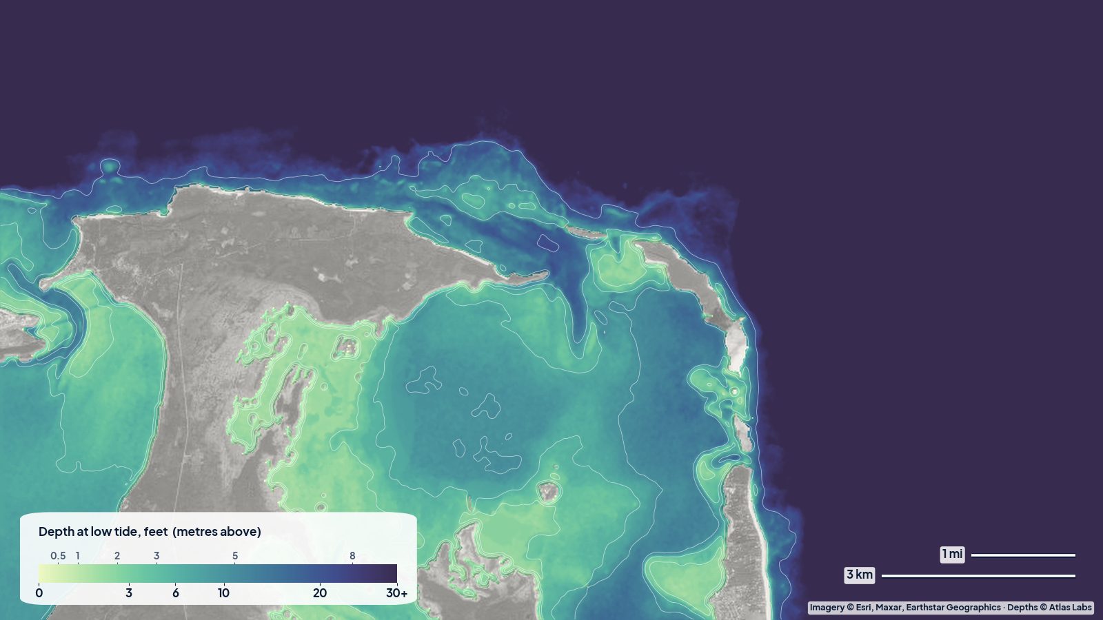
Depths for Harbour Island, the Eleuthera sandbars, Spanish Wells, the Devil's Backbone passage and the sheltered west-coast bays, with tides and hazards.
 Bahamas
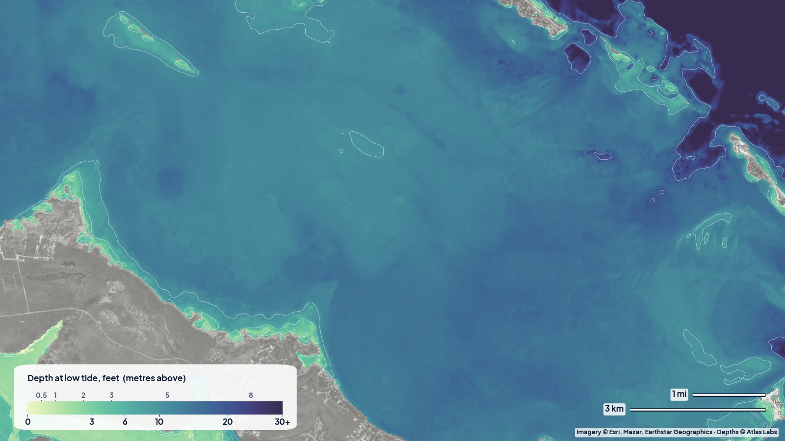
Sea of Abaco depths for the main channel, Hope Town and Marsh Harbour entrances, Tahiti Beach sandbars and reefs, with tides, launches and hazards.
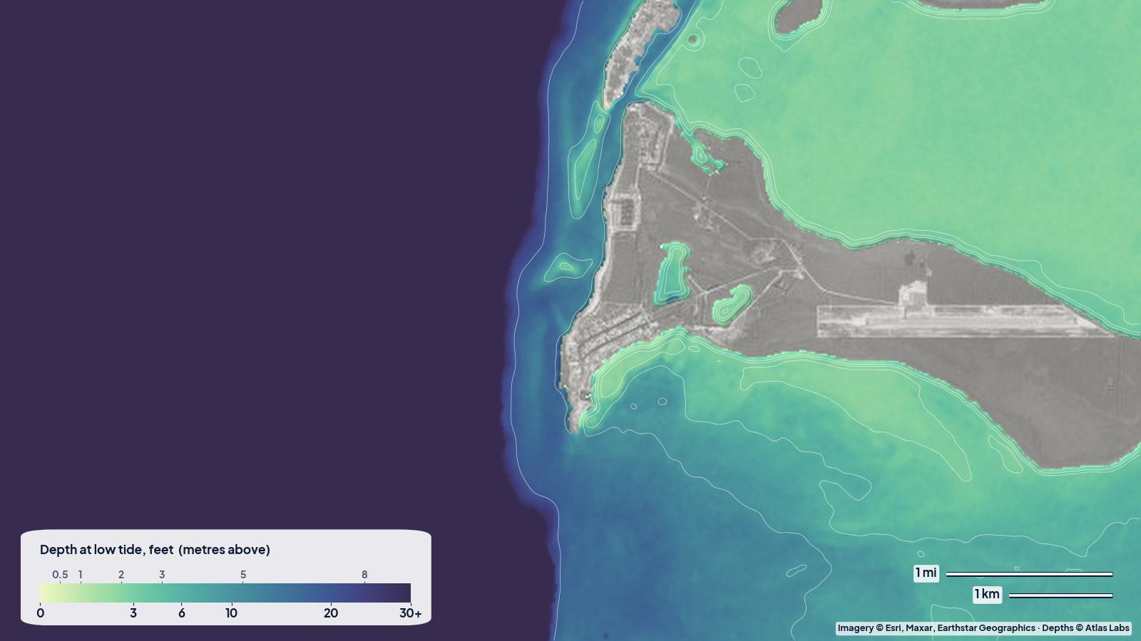 Bahamas
Bimini depths from the harbour channel to the 0-5 ft east-side flats, the Sapona wreck and the Gulf Stream edge, with access, tides and hazards.
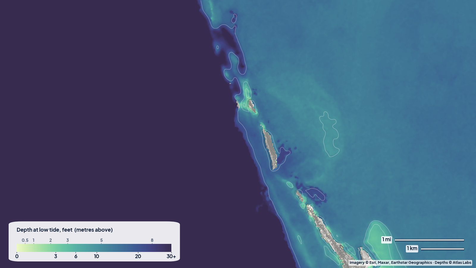 Bahamas
How deep the water is around North and South Bimini, Gun Cay and Cat Cay, read from a real depth map: the shallow flats behind Bimini, the even bank to the east, and the sudden drop into the Gulf Stream.
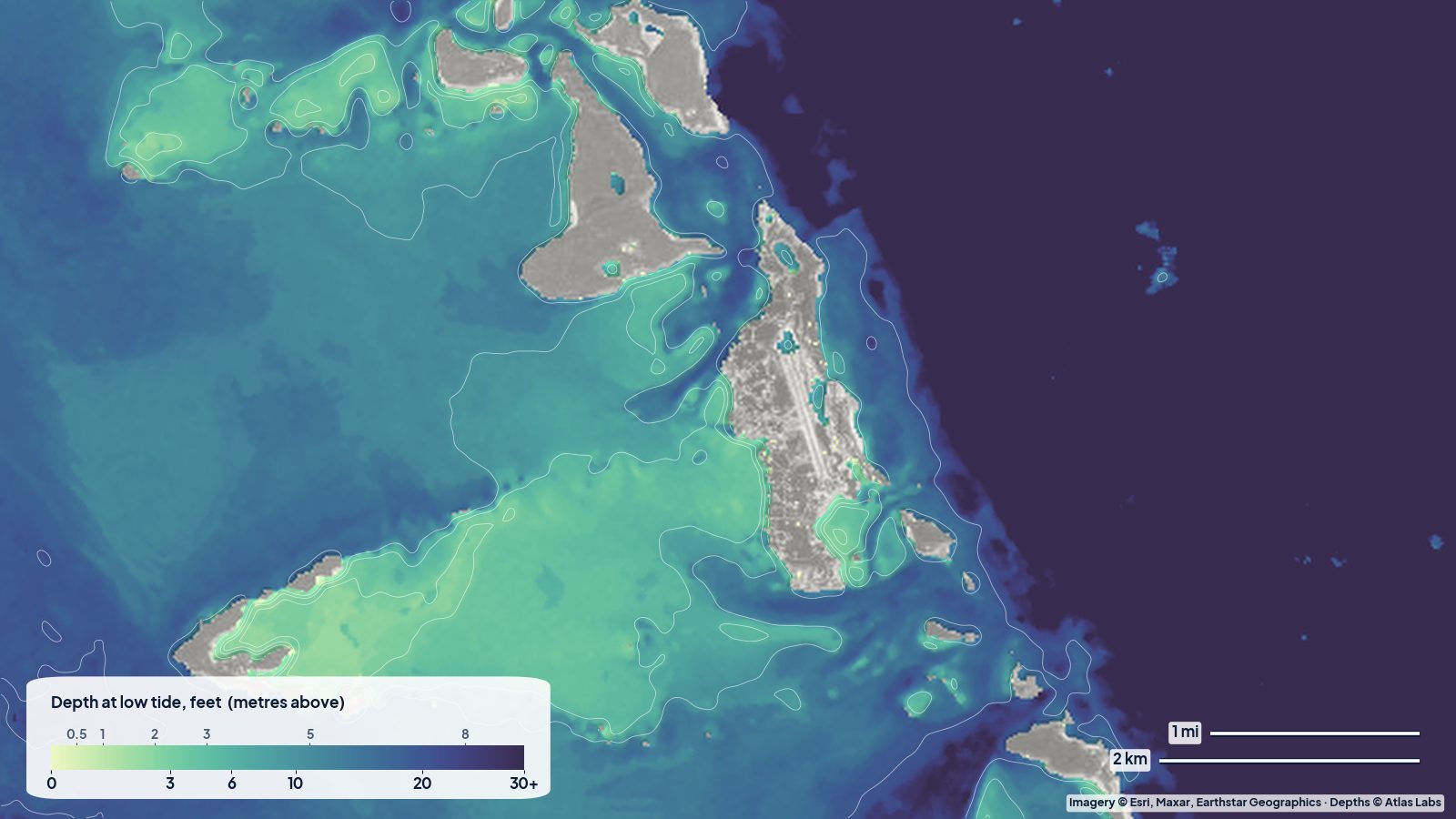 Bahamas
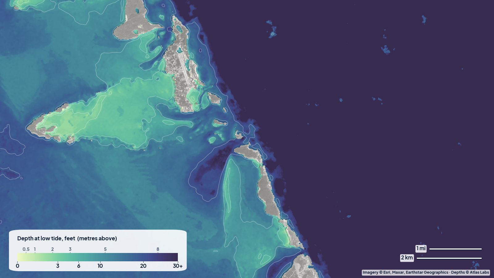
A real depth map of the central Exumas: how deep the bank is west of Staniel Cay, Big Major and Great Guana Cay, where the shallow sand fans spread out, and where Exuma Sound drops away.
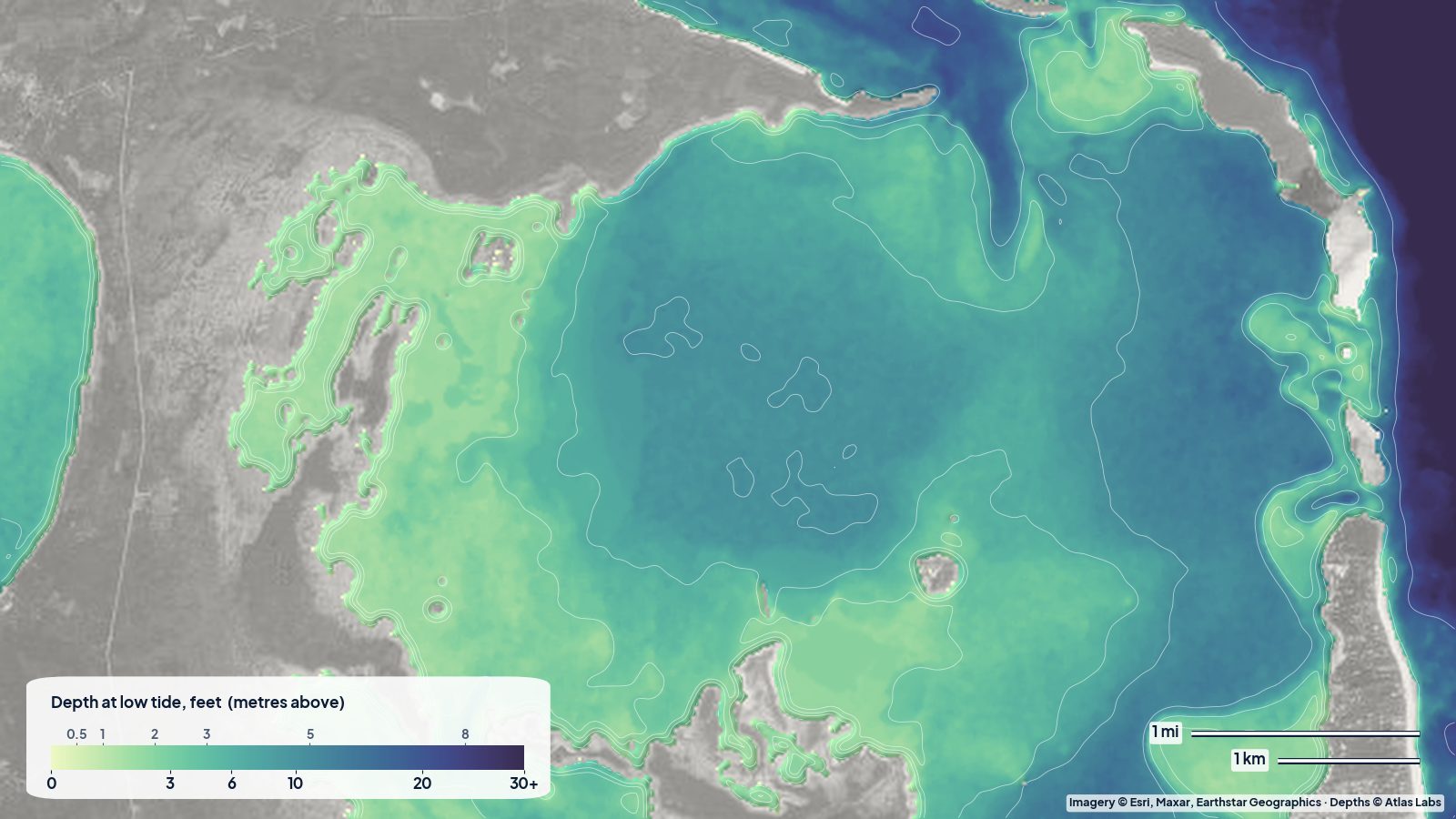 Bahamas
A real depth map of North Eleuthera: the shallow flats on the bay side of Harbour Island, the deeper basin in the middle of the bay, and the reef shelf of the Devil's Backbone along the north shore.
 Bahamas
How deep the water is around Staniel Cay: the Exuma Bank, the cuts, Thunderball Grotto, Pig Beach and the sandbars, with anchorages, tides and hazards.