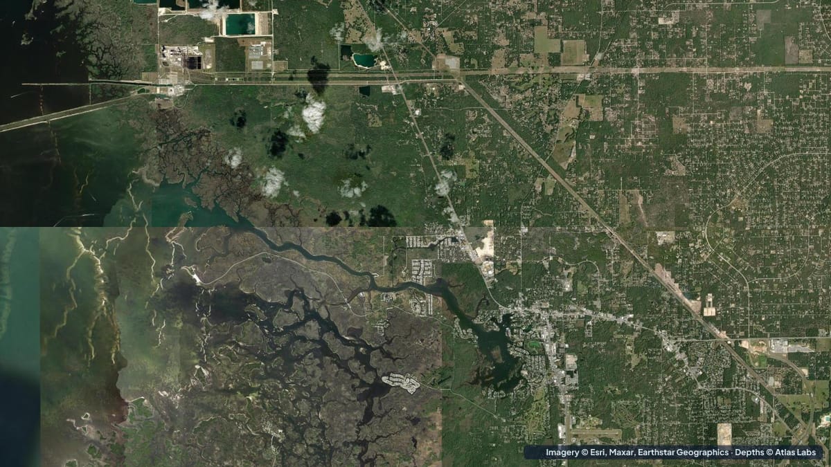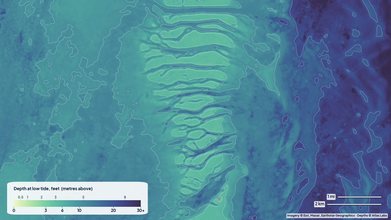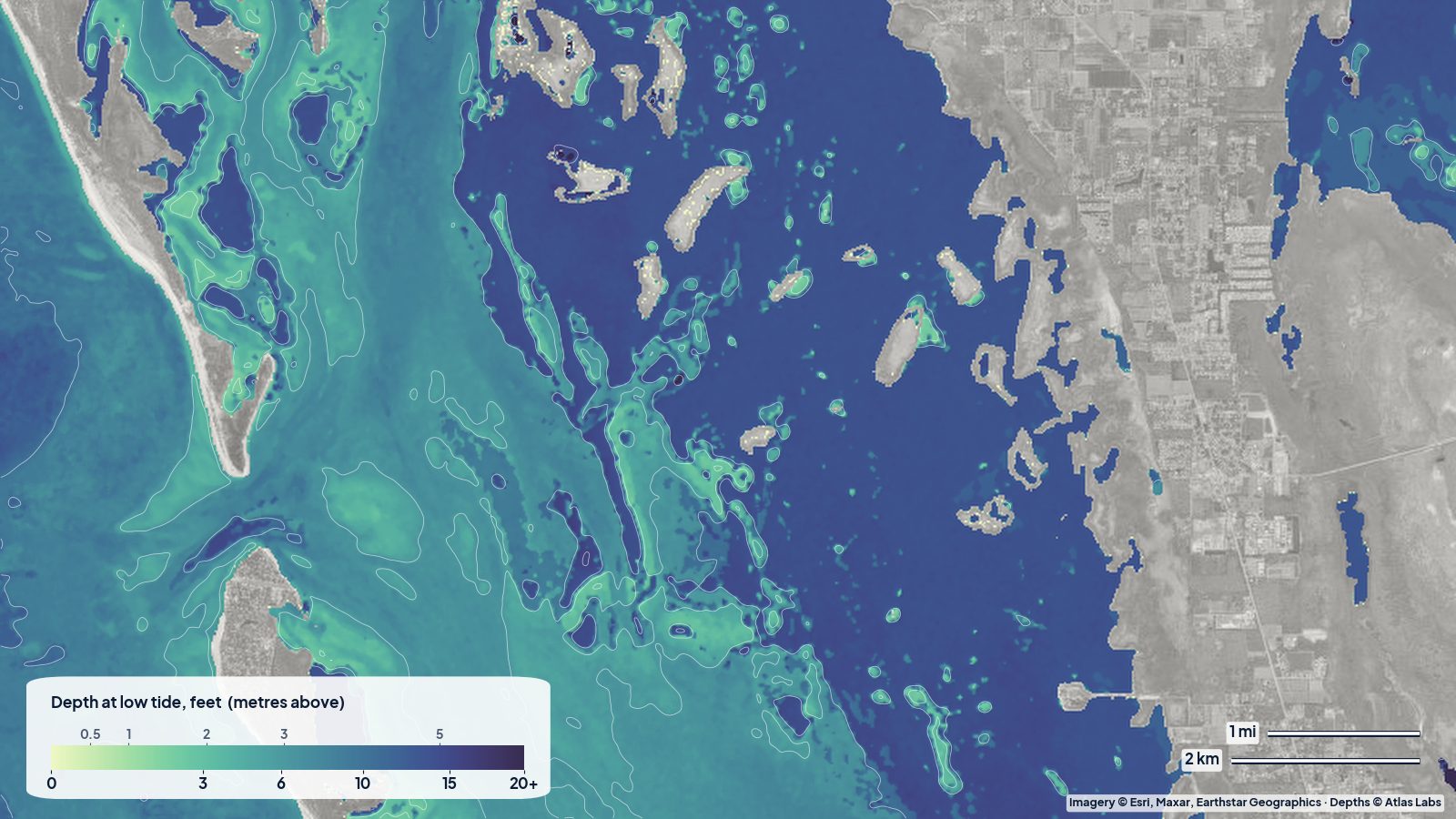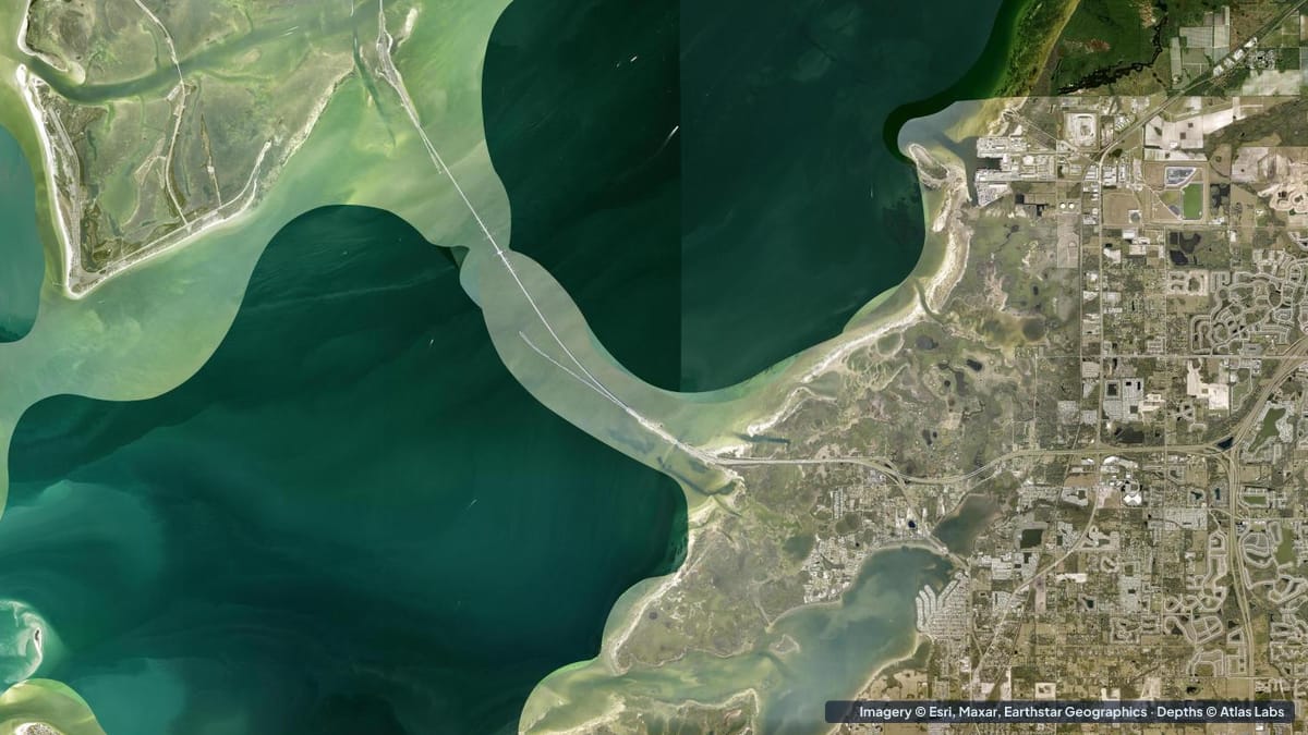
Tampa Bay is Florida’s largest open-water estuary, and while the shipping channel in the middle is deep, the edges are a world of grass flats, oyster bars, sandbars and mangrove creeks that rarely exceed a few feet. Two places stand out for paddlers and skiff anglers: Fort De Soto Park at the mouth of the bay, and the Weedon Island Preserve on the Pinellas shore of Old Tampa Bay. This guide covers both, with typical depths, launch points, tide and wind advice, and the hazards that catch people out. The satellite depth map for each cell is updated regularly.
What the bottom looks like
Fort De Soto and Mullet Key: a hook of barrier islands at the entrance to Tampa Bay. On the Gulf side you have a wide sand beach that shelves gently into clear water. On the bay side, Mullet Key Bayou is a shallow lagoon of sand and grass with mangrove edges. To the south, Bunces Pass and Egmont Channel are deep, fast tidal passes with strong current and sandbars on their edges. Egmont Key, across the channel, has clear water over sand and old fort rubble that snorkelers enjoy.
Weedon Island: a mangrove preserve with a marked paddling trail that winds through tunnels and small open bays. The bottom is grass and soft sand with oyster bars at the creek mouths, opening onto the broad shallow flats of Old Tampa Bay.
Approximate depth by zone
Typical ranges only. Tampa Bay’s tides are mixed and wind-driven, so check the live map and the tide before launching.
- Fort De Soto Gulf beaches: roughly 1 to 6 ft (0.3 to 1.8 m) within the first hundred yards, with a sandbar and trough pattern.
- Mullet Key Bayou: roughly 1 to 4 ft (0.3 to 1.2 m), with parts under 1 ft (0.3 m) at low tide; local descriptions put the park’s waters anywhere from 2 to 15 ft (0.6 to 4.6 m) depending on where you are.
- Grass flats on the bay side of Fort De Soto and off Tierra Verde: roughly 1 to 4 ft (0.3 to 1.2 m).
- Bunces Pass and Egmont Channel: deep, from roughly 15 ft (4.6 m) in the pass to much deeper in the dredged ship channel; sandbars on the edges rise to 1 to 3 ft (0.3 to 0.9 m).
- Weedon Island paddling trail: roughly 1 to 3 ft (0.3 to 0.9 m), with mangrove tunnels that get tight and shallow at low tide.
- Old Tampa Bay flats off Weedon Island: roughly 2 to 5 ft (0.6 to 1.5 m).
Launch points and boat ramps
- Fort De Soto boat ramp: a large paved public ramp with plenty of trailer parking, on the bay side of the park; a fee applies.
- Fort De Soto kayak launches: the park has a dedicated paddle launch and an outfitter at the Bayou; the Gulf beaches allow carry-in launches on calm days.
- Weedon Island Preserve kayak launch: a free launch at the preserve with a marked 4 mile (6.4 km) paddling trail; rentals are available on site.
- Gandy Boulevard causeway and Picnic Island: free roadside launches onto the Old Tampa Bay flats.
- Maximo Park and Bay Vista Park (St Petersburg): public ramps for skiffs working the southern bay flats.
Best tide, wind and season
- Tide: Fish and paddle the flats on the rising tide; the last two hours of a spring low can leave Mullet Key Bayou and the Weedon trail almost dry. For Egmont Key snorkeling, go near slack to avoid the channel current.
- Wind: Fort De Soto’s bayou is sheltered from most directions; the Gulf beaches are exposed to westerlies. Weedon Island’s tunnels are sheltered, but the open flats get choppy in a south-westerly.
- Season: Spring (March to June) and fall (October to November) are the sweet spots for weather and fishing. Summer is hot with afternoon storms; winter cold fronts bring low water and clear days between them.
Hazards
- Current in the passes: Bunces Pass and Egmont Channel run hard and are used by large ships. Kayakers should not cross to Egmont Key without experience, a calm day and a slack tide.
- Oyster bars: Sharp and shallow at creek mouths around Weedon Island and Tierra Verde. They will cut feet and hulls.
- Boat traffic: The Fort De Soto ramp area and the Intracoastal are busy on weekends.
- Low water in the tunnels: The Weedon Island trail can become unpaddleable on a low spring tide.
- Sting rays and heat: Shuffle your feet when wading; carry more water than you think you need.
Kayak and skiff draft guidance
Kayaks and paddleboards (4 to 6 in, 10 to 15 cm) are the natural choice for both places and can reach nearly everything at mid tide. On a low spring tide expect to drag in the bayou and the mangrove tunnels.
A poling skiff drawing 6 to 10 in (15 to 25 cm) can fish the grass flats and bar edges on a rising tide. Bay boats drawing 12 to 18 in (30 to 45 cm) should stay in channels and in water the map shows at 3 ft (0.9 m) or more, and should avoid the inside of Mullet Key Bayou and the Weedon flats except near high tide. Keep at least 1 ft (0.3 m) of margin above your draft.
Frequently asked questions
How deep is the water at Fort De Soto?
It ranges widely, from under 1 ft (0.3 m) in Mullet Key Bayou at low tide to roughly 15 ft (4.6 m) or more in the passes. The beaches are typically 1 to 6 ft (0.3 to 1.8 m) close in.
Can I kayak to Egmont Key from Fort De Soto?
Experienced paddlers do, but it means crossing a deep shipping channel with strong current. Most visitors take the ferry.
How long is the Weedon Island kayak trail?
About 4 miles (6.4 km) on a marked loop through mangrove tunnels and small bays, usually 2 to 3 hours.
Is there a free kayak launch at Weedon Island?
Yes, the preserve has a free launch with rentals nearby. Parking fills on winter weekends.
How deep is Tampa Bay outside the shipping channel?
Most of the bay’s edges are 2 to 6 ft (0.6 to 1.8 m), with extensive flats under 3 ft (0.9 m). Only the dredged channels are truly deep.
Related reading
- Crystal River and Homosassa depth map
- Pine Island Sound and Captiva depth map
- Mosquito Lagoon depth map
Safety note: ShoalScope depth maps are satellite estimates for planning only and are not for navigation. Use official charts, respect the shipping channel, and wear a life jacket.