Crystal River and Homosassa sit on Florida’s Nature Coast, about 70 miles north of Tampa, where spring-fed rivers run a few miles through marsh to a Gulf of Mexico that stays shallow for miles offshore. Crystal River’s Kings Bay is the winter home of hundreds of manatees and the only place in the US where you can legally swim with them. Homosassa has its own spring, a quieter river and some of the best shallow-water fishing on the Gulf. Both are paddling towns first and foremost. This guide gives typical depths for each zone, launch points, tide advice and hazards. The satellite depth map for this cell is updated regularly.
What the bottom looks like
- Kings Bay and the springs (Crystal River): a spring-fed bay of clear water over sand and limestone, with dozens of spring vents. Three Sisters Springs is the famous one: a sheltered, sand-bottomed pool reached through a narrow run. Much of the bay away from the springs is grass and silt and gets murky after rain.
- Crystal River proper: a wide, slow river about 6 miles (10 km) long winding west through salt marsh to the Gulf, with a marked channel and shallow grass edges.
- Homosassa River and spring: a smaller spring at the state wildlife park headwaters, then a winding river with rock, grass and oyster edges to the Gulf.
- The Gulf shelf: off both river mouths the Gulf is a huge expanse of grass flats, rock piles and oyster bars that stays shallow for several miles. This is classic redfish, trout and scallop water.
Approximate depth by zone
Typical ranges only. Spring flow, rain and tide all change the picture; check the live map.
- Three Sisters Springs pool: shallow, roughly 3 to 8 ft (0.9 to 2.4 m) in the main basins, with the run into it around 2 to 4 ft (0.6 to 1.2 m).
- Kings Bay: roughly 3 to 10 ft (0.9 to 3 m), with spring vents deeper and the edges shallower.
- Crystal River channel to the Gulf: roughly 5 to 10 ft (1.5 to 3 m) in the marked channel, dropping to 1 to 3 ft (0.3 to 0.9 m) on the grass just outside it.
- Homosassa River: roughly 3 to 8 ft (0.9 to 2.4 m) in the channel; rocks and oyster bars near the surface at the edges.
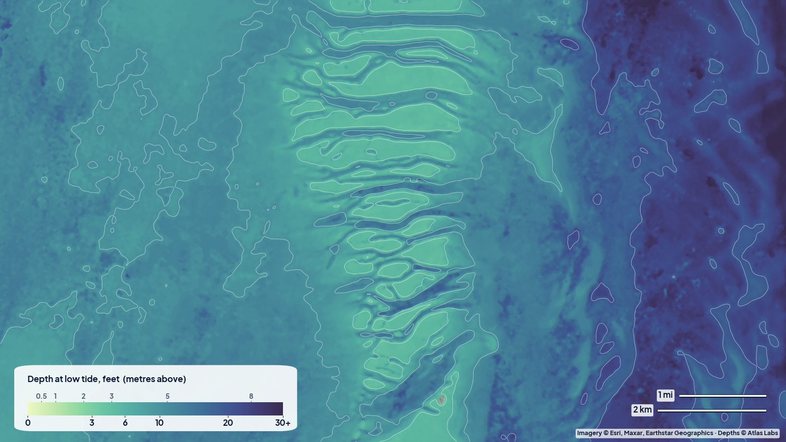
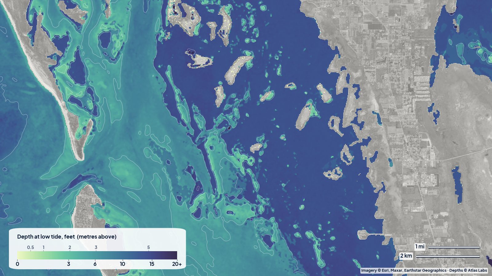
- Gulf flats off the river mouths: roughly 1 to 5 ft (0.3 to 1.5 m) for the first 2 to 4 miles (3 to 6 km) offshore, with rock piles rising to the surface.
- Scallop grounds (summer): roughly 3 to 8 ft (0.9 to 2.4 m) over grass.
Launch points and boat ramps
- Hunter Springs Park (Crystal River): a popular city park with a kayak launch and swimming area right on Kings Bay, a short paddle from Three Sisters.
- Kings Bay Park and the city dock area: more kayak launches and rentals downtown.
- Fort Island Trail boat ramp: the main public trailer ramp near the Gulf end of Crystal River, with direct access to the flats.
- Pete’s Pier and private marinas: ramps and rentals in Kings Bay.
- MacRae’s and the Homosassa public ramp: the heart of Homosassa, launching kayaks and skiffs onto the river.
- Homosassa Springs Wildlife State Park: no launch, but the best way to see the headspring.
Best tide, wind and season
- Tide: The Nature Coast has a modest tide range of about 2 to 3 ft (0.6 to 0.9 m) but the flats are so gently sloped that a low tide moves the water’s edge a long way out. Fish and paddle the Gulf flats on the rising tide. Inside Kings Bay the tide matters less.
- Wind: The rivers are sheltered. The Gulf flats are exposed to westerlies and get rough and muddy quickly in anything over 15 knots.
- Season: November to March is manatee season; Three Sisters fills with manatees on cold mornings and with visitors by mid-morning. Spring and fall are prime for flats fishing. July to September is scallop season, when hundreds of boats drift the grass flats.
Hazards
- Manatee zones and rules: Idle-speed and no-entry zones protect manatees; sanctuaries close during the season. Fines are real and rangers are present.
- Rocks and oyster bars: The Homosassa river edges and the Gulf flats off both rivers are full of limestone rock piles just under the surface. They destroy props and lower units every week.
- Long run to deep water: It is several miles from the river mouths to water deeper than 5 ft (1.5 m). Plan fuel and tide accordingly.
- Boat traffic: Kings Bay is crowded with tour boats and kayaks in winter; the Crystal River channel is busy with scallopers in summer.
- Weather: Summer storms build fast over the Gulf.
Kayak and skiff draft guidance
Kayaks and paddleboards (4 to 6 in, 10 to 15 cm of draft) are the best way to see the springs and can cover both rivers and the inner flats at any tide. Paddling into Three Sisters at low tide can mean floating over a run that is only a couple of feet deep; go slow for the manatees.
Skiffs drawing 6 to 12 in (15 to 30 cm) are the local flats boat of choice and still hit rocks. Stay in marked channels until you are well offshore, run at speed only where the map shows 3 ft (0.9 m) or more, and watch for dark rock piles. Bay boats drawing more than 15 in (38 cm) should keep to the channels and the outer flats on a rising tide.
Frequently asked questions
How deep is Three Sisters Springs?
The main spring pools are roughly 3 to 8 ft (0.9 to 2.4 m), and the narrow run into them is around 2 to 4 ft (0.6 to 1.2 m). It is shallow enough that swimmers must float, not stand.
How deep is Kings Bay in Crystal River?
Mostly 3 to 10 ft (0.9 to 3 m), deeper over the spring vents and shallower along the grassy edges.
How far out does the shallow water go off Crystal River?
Several miles. Depths under 5 ft (1.5 m) commonly extend 2 to 4 miles (3 to 6 km) offshore, which is why the area is such good flats and scallop water.
Can I kayak the Homosassa River?
Yes, from the public ramp or local outfitters. It is sheltered and spring fed, with manatees in winter and good fishing year round.
Is Crystal River good for paddleboarding?
Very. Kings Bay is calm and clear, and Hunter Springs Park is an easy launch. Respect manatee zones and keep your distance.
Related reading
- Tampa Bay depth map: Fort De Soto and Weedon Island
- Pine Island Sound and Captiva depth map
- Crab Island, Destin depth map
Safety note: ShoalScope depth maps are satellite estimates for planning only and are not for navigation. Rocks and springs can be shallower than any map shows. Use official charts and follow manatee protection rules.