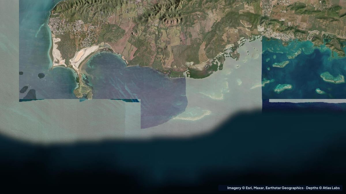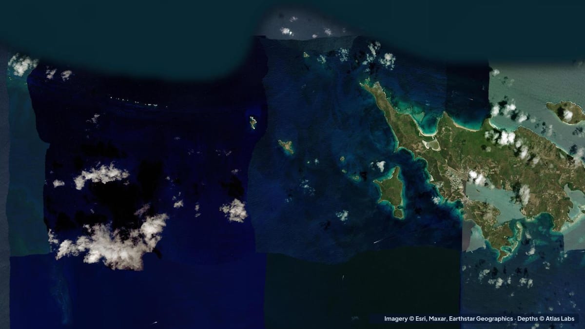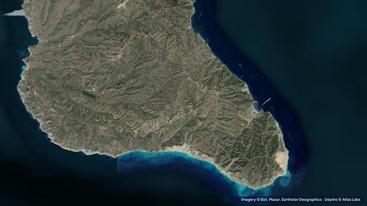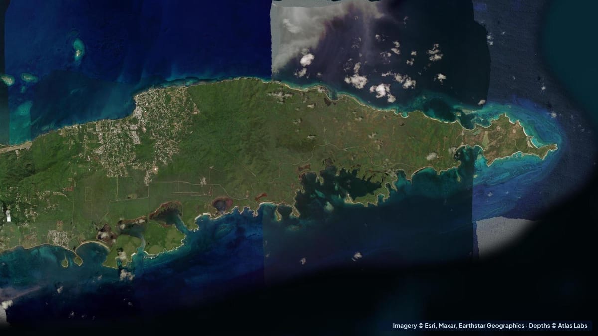
Vieques is the larger of Puerto Rico’s two outlying islands, about 8 miles (13 km) off the east coast, and much of it is a national wildlife refuge on former Navy land. That history left it with long stretches of undeveloped coast, dozens of named beaches and some of the least crowded shallow water in the Caribbean. The south coast, around Esperanza, is the sheltered side: a chain of bays with sand, seagrass and fringing reef, including Mosquito Bay, often described as the brightest bioluminescent bay in the world. This guide covers the main south-coast spots with typical depths, launches, wind and hazards, plus a note on the wilder north shore. The satellite depth map for this cell is updated regularly.
What the bottom looks like
- Esperanza waterfront and Cayo Afuera: a shallow sand and seagrass bay fronting the village, with a small cay just offshore whose reef and shipwreck are the local snorkel.
- Sun Bay (Sombe): a long crescent of white sand in a protected bay, with seagrass offshore and rock at the ends; the island’s main public beach with facilities and camping.
- Media Luna and Navio: small coves east of Sun Bay. Media Luna is shallow, sandy and calm, perfect for children; Navio is deeper with surf and rocks.
- Mosquito Bay (bio bay): a mangrove-ringed lagoon with a narrow entrance, shallow and murky by day, glowing with bioluminescence on dark nights. Swimming is prohibited; kayak tours only.
- Refuge beaches (La Chiva, Pata Prieta, Caracas): a string of bays inside the wildlife refuge on the south-east coast, with sand, seagrass and reef, reached by dirt roads.
- North coast (Isabel Segunda, the ferry port): more exposed, with a commercial harbour and beaches that take the trade-wind swell.
Approximate depth by zone
Typical ranges only. The tide range is small, under 1 ft (0.3 m); swell and wind matter more. Check the live map.
- Sun Bay swimming area: roughly 2 to 8 ft (0.6 to 2.4 m) in the first 50 yards, sand and seagrass.
- Media Luna: roughly 1 to 5 ft (0.3 to 1.5 m), very gentle slope.
- Esperanza bay and Cayo Afuera reef: roughly 3 to 15 ft (0.9 to 4.6 m), with the reef and wreck in about 8 to 15 ft (2.4 to 4.6 m).
- Mosquito Bay: shallow, roughly 3 to 8 ft (0.9 to 2.4 m) over mud, with a narrow entrance channel.
- Refuge beaches (La Chiva, Caracas, Pata Prieta): roughly 2 to 12 ft (0.6 to 3.7 m) over seagrass and sand, reef patches to 20 ft (6 m).
- Isabel Segunda harbour: a dredged ferry harbour; beaches nearby roughly 3 to 10 ft (0.9 to 3 m) with swell.
Launch points and boat ramps
- Esperanza: the island’s small-boat hub, with a public ramp area, a pier, water-taxi and tour operators, and kayak and paddleboard rentals on the malecón.
- Sun Bay: parking and facilities inside the balneario; carry-in launch from the sand for kayaks and boards.
- Mosquito Bay: access only with licensed tour operators, who launch from the bay’s shore by night; no private launching or swimming.
- Refuge beaches: parking at each beach; carry-in launches on calm days; roads are rough and gates close at dusk.
- Isabel Segunda: the ferry port and a public ramp used by local fishermen; most visitors arrive by ferry from Ceiba or by air.
Best tide, wind and season
- Tide: Negligible for paddling and snorkeling. Mosquito Bay tours depend on the moon, not the tide: the darkest nights (new moon) are brightest.
- Wind: Trade winds from the east make the south coast calm and the north coast rough most of the year. Afternoon gusts funnel through the gaps between hills; mornings are best for paddling.
- Season: December to April is the dry, busy season with pleasant temperatures; summer is hotter, calmer and quieter, with the warmest water. Hurricane season peaks August to October; the island was hard hit in 2017 and infrastructure is still limited in places.
Hazards
- Unexploded ordnance: Parts of the former Navy range remain closed. Obey all refuge signs and never leave marked beaches and roads in the eastern refuge.
- Rough roads and remoteness: Many beaches need a 4x4; cell coverage is patchy; carry water.
- Rocky entries and urchins: Navio and the ends of the bays; wear reef shoes.
- Swell on the north coast: Not a beginner coast.
- Boat traffic at Esperanza: Water taxis and fishing boats use the pier area.
- Protecting the bio bay: Sunscreen, insect repellent and swimming are banned in Mosquito Bay to protect the organisms.
Kayak and paddleboard guidance
Kayaks and paddleboards (4 to 6 in, 10 to 15 cm of draft) are ideal along the south coast. Esperanza to Cayo Afuera is a 10 minute paddle; Sun Bay to Media Luna and Navio is a pleasant hour on a calm morning. Mosquito Bay is tours only, in clear-bottomed or standard kayaks, after dark.
Small boats drawing 12 to 24 in (30 to 60 cm) launch at Esperanza and anchor in sand off the refuge beaches; the seagrass is protected, so anchor in sand only and use moorings where present.
Frequently asked questions
How deep is Mosquito Bay?
Shallow, roughly 3 to 8 ft (0.9 to 2.4 m) over a muddy bottom, with a narrow entrance. Swimming is not allowed; licensed kayak tours operate at night.
How deep is Sun Bay?
The swimming area is roughly 2 to 8 ft (0.6 to 2.4 m) near shore, over sand and seagrass, with a gentle slope that suits families.
Where can I snorkel in Vieques?
Cayo Afuera off Esperanza, the ends of Sun Bay, Media Luna, and the refuge beaches on the south-east coast all have shallow reef and seagrass with turtles.
Can I rent a kayak in Vieques?
Yes, in Esperanza on the malecón and through the bio-bay tour operators.
Is Vieques good for beginners?
The south coast is, on calm mornings. The north coast and the refuge’s far east are for experienced paddlers and swimmers only.
Related reading
Safety note: ShoalScope depth maps are satellite estimates for planning only and are not for navigation. Obey wildlife refuge closures and bio-bay rules, use moorings, and never paddle alone.