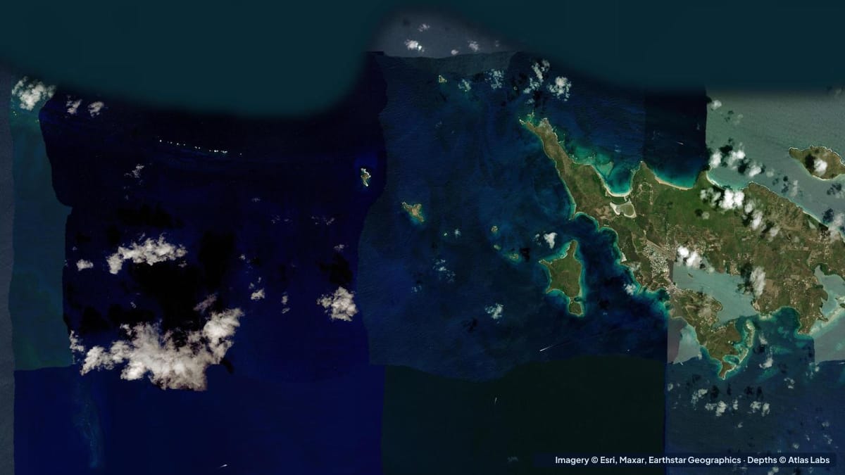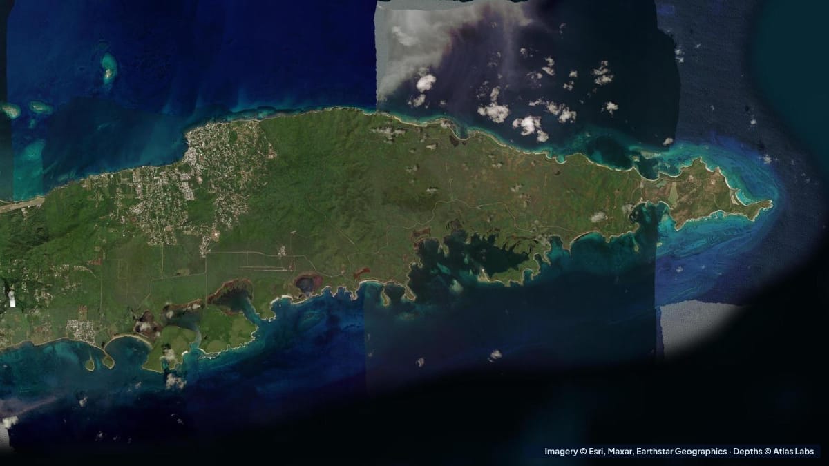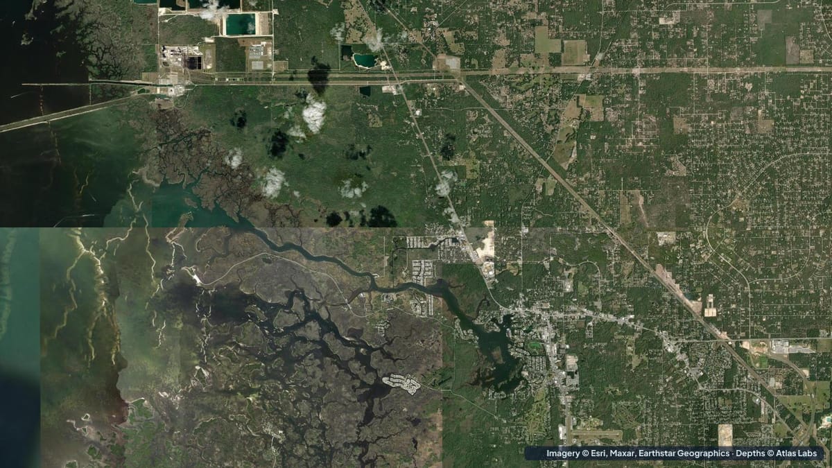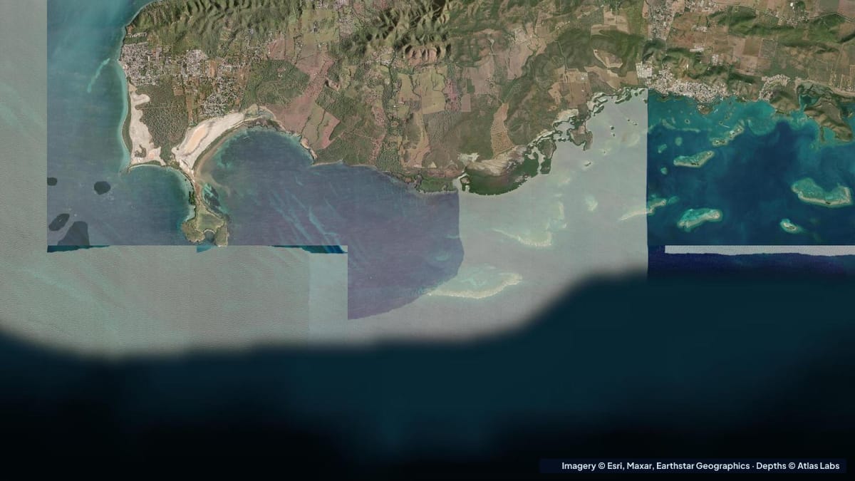
La Parguera is a fishing village on Puerto Rico’s dry south-west coast, near Lajas, famous for its bioluminescent bay and for a maze of mangrove cays, reef flats and shallow channels that stretch several miles offshore to the edge of the island shelf. It is one of the best studied reef systems in the Caribbean and one of the easiest to explore in a kayak or small boat, because the water inside the reef line is sheltered and mostly shallow. It is also the closest thing Puerto Rico has to a bonefish flat. This guide explains the zones, typical depths, launches, wind and hazards. The satellite depth map for this cell is updated regularly.
What the bottom looks like
- Inner mangrove cays (Cayo Caracoles, Cayo Enrique, Mata la Gata, Isla Magueyes): small mangrove islands a short paddle from town, surrounded by seagrass, sand and shallow reef; some have docks and shallow swimming areas where boats raft up on weekends.
- Seagrass and sand flats: broad meadows between the cays, with sandy “playitas” where the bottom is bright and shallow enough to stand.
- Reef flats and patch reefs (Cayo Enrique reef, Media Luna, Laurel): emergent and barely submerged reef crests on the seaward side of the cays, with coral, sea fans and strong surf on the outside.
- Channels: marked and unmarked boat channels through the flats, deeper and darker than the surroundings.
- Bioluminescent bay (Bahía Fosforescente): a mangrove-enclosed bay east of town with a narrow entrance, murky by day and glowing at night; boat tours and some kayak tours visit after dark.
- Shelf edge: a few miles offshore the shelf drops steeply into deep water; dive boats work the wall.
Approximate depth by zone
Typical ranges only. The tide is small, under 1 ft (0.3 m); wind and swell matter more. Check the live map.
- Shallow playitas near the cays: roughly 1 to 4 ft (0.3 to 1.2 m) over sand, standing depth.
- Seagrass flats between the cays: roughly 3 to 10 ft (0.9 to 3 m).
- Boat channels through the flats: roughly 10 to 20 ft (3 to 6 m).
- Reef flats on the outer cays: awash to 3 ft (0 to 0.9 m) on the crest, dropping to 15 to 40 ft (4.6 to 12 m) on the seaward side.
- Bioluminescent bay: roughly 3 to 8 ft (0.9 to 2.4 m) over mud, narrow entrance.
- Shelf edge: from about 60 ft (18 m) dropping to hundreds of feet within a short distance.
Launch points and boat ramps
- La Parguera public ramp and malecón: the village waterfront has a ramp, docks, water taxis to the cays, and kayak and paddleboard rentals; parking is easy outside weekends and holidays.
- Playita Rosada: a small town beach and launch area a short distance from the centre.
- Isla Magueyes: a university marine research station on the nearest cay; not a public launch but a landmark.
- Boquerón and Guánica: larger ramps east and west along the coast for boats heading out to the shelf or along the reef line.
Best tide, wind and season
- Tide: Negligible for paddling. Bio-bay tours are brightest on dark nights around the new moon.
- Wind: The trade wind blows from the east and south-east most afternoons at 15 to 20 knots. Mornings are calm; plan to paddle out early and return before noon, and use the cays as shelter.
- Season: The south-west is the driest part of Puerto Rico and good year round. December to April is the busy season; summer is hot, calm and quiet. Hurricane risk peaks August to October.
Hazards
- Reef crests: The outer reef flats are awash and break in swell; boats and paddlers have been swept onto them. Stay inside unless the sea is flat.
- Boat traffic on weekends: The cays and the channels fill with local boats and water taxis on Saturdays, Sundays and holidays.
- Afternoon wind: Strong, steady and offshore-tending from the cays back to town.
- Sea urchins, fire coral and jellyfish: On the reef flats and mangrove roots; wear reef shoes.
- Protecting the bio bay: No swimming and no chemical sunscreen or repellent in the bay.
- Sun and dehydration: Little shade on the water.
Kayak and skiff draft guidance
Kayaks and paddleboards (4 to 6 in, 10 to 15 cm of draft) are the perfect craft for the inner cays, the playitas and the seagrass flats, all within a mile or two of town. The mangrove tunnels on the inner cays are a highlight.
Skiffs drawing 6 to 12 in (15 to 30 cm) can fish the seagrass flats and the sand edges for bonefish, permit and tarpon, poling where the map shows 2 to 4 ft (0.6 to 1.2 m). Boats drawing 18 in (45 cm) or more should stay in the channels and anchor in sand near the cays, never on seagrass or coral. Allow at least 1 ft (0.3 m) of margin above your draft.
Frequently asked questions
How deep is the water around the La Parguera cays?
The sandy playitas are roughly 1 to 4 ft (0.3 to 1.2 m), the seagrass flats 3 to 10 ft (0.9 to 3 m) and the channels 10 to 20 ft (3 to 6 m). The reef crests are awash.
Can I kayak to the cays from La Parguera?
Yes, the inner cays are within a mile (1.6 km) of the waterfront and rentals are available. Go in the morning before the trade wind builds.
Can you swim in La Parguera’s bio bay?
No, swimming is prohibited to protect the bay. Boat and kayak tours visit at night.
Is La Parguera good for fishing?
Yes, for bonefish, permit and tarpon on the inshore flats, snapper and grouper on the reefs, and pelagics off the shelf edge.
Where is the best snorkeling in La Parguera?
The protected side of Cayo Enrique, Mata la Gata and Cayo Caracoles for easy shallow snorkeling; the outer reefs on flat-calm days only.
Related reading
Safety note: ShoalScope depth maps are satellite estimates for planning only and are not for navigation. Reef crests are awash and break without warning. Use official charts and local knowledge, respect the natural reserve, and wear a life jacket.